Space, Drones, and Mobility at Maker Faire Rome 2026: From Space to the Street
How far can we go?
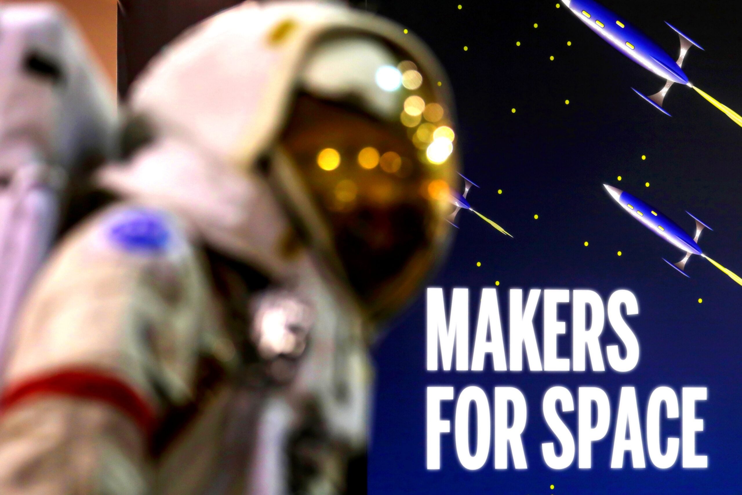
A rocket aiming for an altitude of 80 kilometers. A ten-centimeter satellite. A rover built to navigate where no roads exist.
From October 23 to 25, 2026, at the Gazometro Ostiense, the Aerospace & Mobility area at Maker Faire Rome brings together space, drones, autonomous navigation, communication networks, and smart mobility.
It isn’t just about how we will get around: you can see and try firsthand what it actually takes to make it happen.
Rockets and Satellites: Everything That Happens Before Launch
To reach the skies, you first have to solve terrestrial problems: weight, materials, avionics, trajectory, and recovery.
At the fair, you will find suborbital rockets, hybrid engines, flight control systems, and scientific payloads. A 1U CubeSat—just ten centimeters per side—demonstrates how small a satellite can become when hardware and software are open source.
With ESA, the journey continues from orbit down to Earth: interactive models and satellite data show how information is collected, transmitted, and made usable.
Drones and Rovers: When GPS Is Not Enough
What does a machine do when it has to navigate on its own?
VTOL drones transition from vertical takeoff to fixed-wing flight; others use computer vision to recognize, pick up, and release objects. Rovers combine wheels, robotic arms, drills, sensors, and artificial intelligence to tackle terrains designed for planetary exploration.
Cameras, radar, LiDAR, and inertial sensors read the surrounding environment and help decide where to go, even without a reliable signal.
When Your Smartphone Has No Signal
Out of coverage, staying connected becomes part of the challenge.
Mesh radio networks pass messages from one node to another where cellular coverage fails to reach. Other systems merge IoT and satellite links: push a button or trigger a sensor, and you can track the data all the way to a dashboard.
This technology is designed for emergencies, remote areas, and infrastructure that must keep communicating even when everything else goes silent.
Smart Mobility: The Road Becomes Data
A helmet or a small IoT device can detect an accident, read road surface conditions, and help build dynamic risk maps.
Here, smart mobility centers on safety, micromobility, logistics, and data. With professional simulators, telemetry, and virtual reality, you can see how a vehicle reacts, adjust your choices, and try again risk-free.
For students and young people, it serves as a direct pathway into STEM: from behind the steering wheel or flight stick, you delve directly into physics, electronics, software, and data.
Discover Aerospace & Mobility
From orbit to the street, the vehicles change, but the fundamental question remains the same: how do we navigate, communicate, and reach further?
These are just a few examples. You’ll find more answers at the fair.