

Vulnerable to climate change, New York constructs seawall
US most endangered city hopes to avoid the worst of climate change by buinding a resiliency plan
After major storms highlighted New York’s weaknesses in the face of climate change, the city is erecting a US$1.45 billion system of walls and floodgates to protect it from rising sea levels.
One of the most populated cities in the US is preparing for what may now be inevitable: submersion. New York city has launched a huge climate resiliency project to try and avoid the mistakes of the past and protect itself against the extreme weather of the future.
Fighting vulnerability
The US economic hub is surely one of the cities most endangered by climate change. Along its 836km of coastline, experts fear that sea levels may rise by 20-75 cm by 2050. This increase could put some New York underwater, particularly the island of Manhattan.
The low-lying topography of Lower Manhattan from West 57th St down to The Battery, and up to East 42nd St is home to approximately 220,000 residents and is the core of a $500 billion business sector that influences the world’s economy.
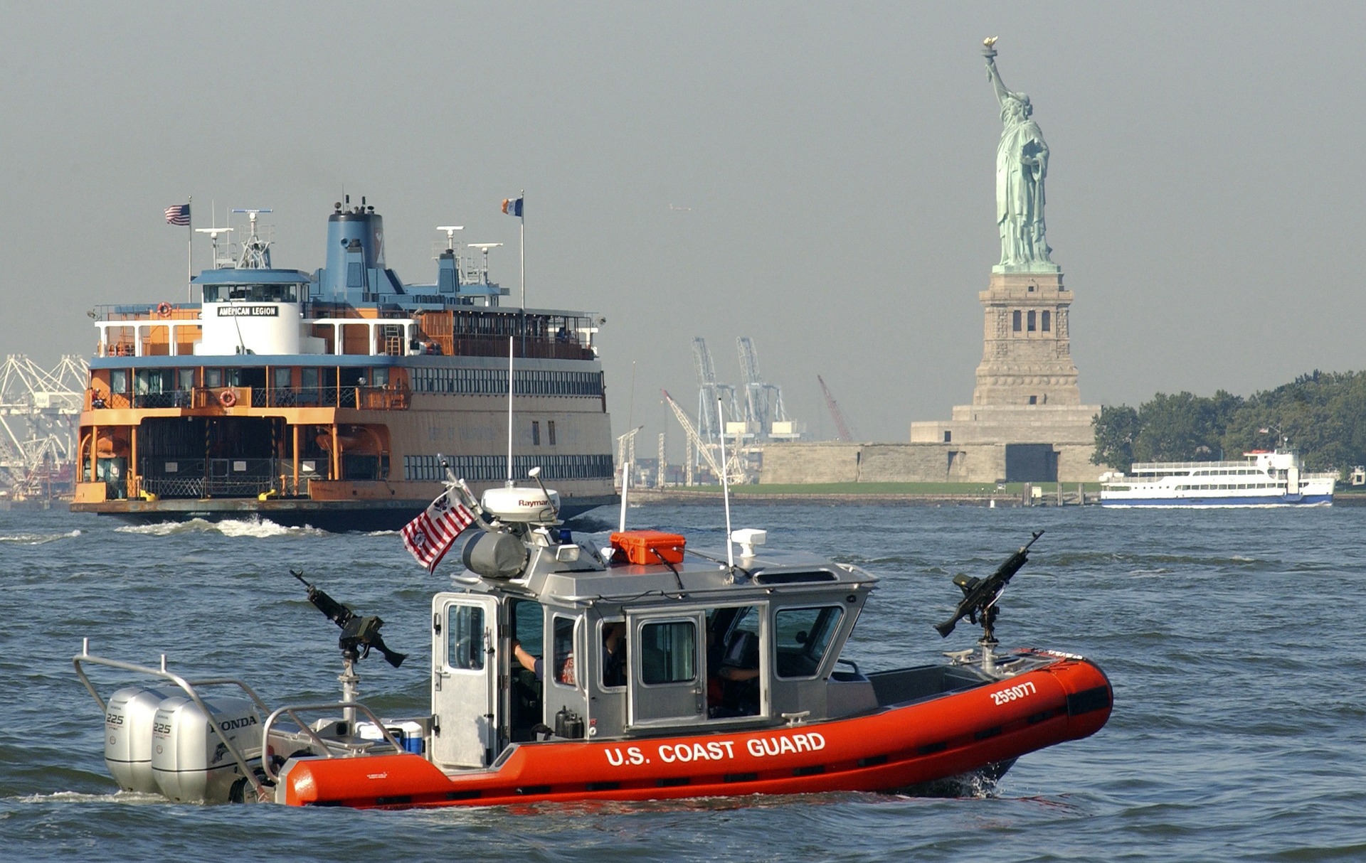
Already back in 2012, right after superstorm Sandy had hit the city – killing 44 residents, impacting 110,000 more and leaving US$19 billion in damages as a consequence of a water level that rose upwards of 2.4m, destroying or damaging infrastructure within a 10-mile perimeter and cutting off transportation, communication, power and running water – it had established the so-called East Coast Resiliency Project (ESCR), running 4km along the shoreline of Lower Manhattan. Hurricane Ida, which ravaged parts of the city this year, added further urgency.
“The Wall”
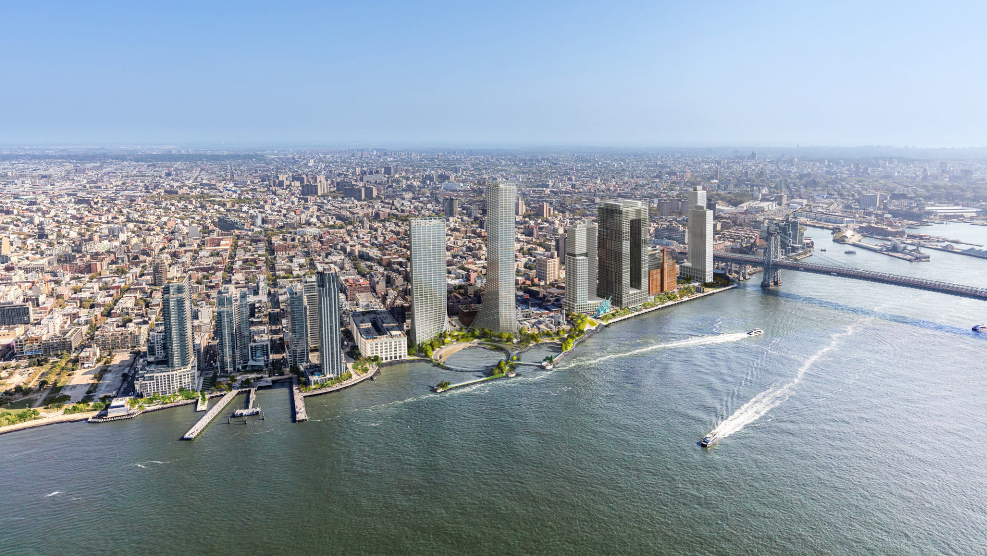
Within the frame of the East Coast Resiliency Project (ESCR), in collaboration with New York City, Bjarke Ingels Group – a Copenhagen and New York based group of architects, designers and builders operating within the fields of architecture, urbanism, research and development – developed The BIG U, a proposal to protect Lower Manhattan from floodwater, storms, and other impacts of a changing climate.
The BIG U calls for a protective system around the low-lying topography of Manhattan beginning at West 57th Street, going down to The Battery, and then back up to East 42nd Street.
The proposal was conceived as 10 continuous miles of protection tailored to respond to individual neighborhood typology as well as community-desired amenities.
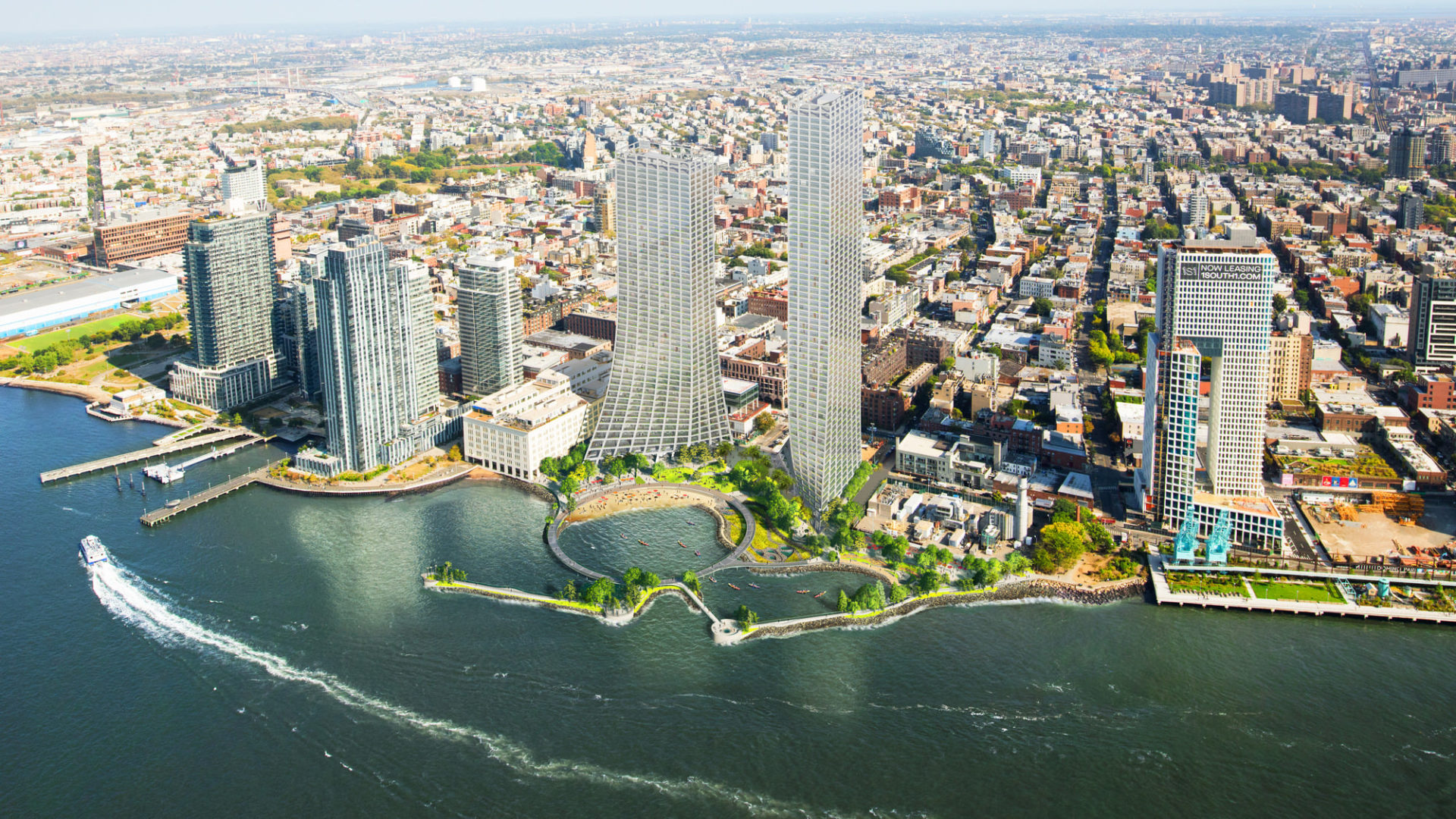
The proposal breaks the area into compartments: East River Park; Two Bridges and Chinatown; and Brooklyn Bridge to The Battery. Like the hull of a ship, each can provide a flood-protection zone, providing separate opportunities for integrated social and community planning processes for each. Each compartment comprises a physically separate flood-protection zone, isolated from flooding in the other zones, but each equally a field for integrated social and community planning. The compartments work in concert to protect and enhance the city, but each compartment’s proposal is designed to stand on its own.
EAST RIVER PARK: A proposed Bridging Berm will both protect the area from storm surges and rising sea levels, and offer waterfront access for relaxation, socializing, and enjoying river vistas by providing pleasant, accessible routes over the highway into the park. Additionally, salt-tolerant trees and plants will provide a resilient urban habitat.
TWO BRIDGES AND CHINATOWN: Deployable walls attached to the underside of an elevated highway can flip down to mitigate flooding. Decorated by neighborhood artists, the panels will create an inviting ceiling when not in use, while integrated lighting will transform a currently menacing area into a safe community destination.
BROOKLYN BRIDGE TO THE BATTERY: The Battery Berm weaves an elevated path with a series of upland knolls to form unique landscapes. The plan envisions transforming the existing Coast Guard building into a new maritime museum or environmental education facility featuring a “Reverse Aquarium” where visitors can observe tidal variations and sea level rise.
The city will also plant about 1,800 trees – nearly double the number that the project’s construction will destroyed, along with an additional 1,000 in the neighborhood, said Sara Nielsen of the New York City Parks Department. About 500 new trees have already been planted.
A new underground drainage system will improve the sewage network’s evacuation capacity, while the construction of a power substation should help prevent a days-long power loss that happened during Sandy.
Adaptability as key factor
But the project is far from enough: according to Jainey Bavishi, who directs the Mayor’s Office of Climate Resilience, the city is investing in a “multi-layered strategy”.
Many buildings in Manhattan along with crucial infrastructure are also being reinforced, Bavishi explained, with construction limited in high-risk areas, and collaboration with residents and small businesses to minimise the impact of extreme weather events. “Resiliency is a process, not an outcome”, Bavishi loves to say.
The US Congress recently approved a massive social spending plan of US$1.2 trillion, which will allocate roughly US$550 billion to climate and clean energy tax incentives.
Copyright Cities of the Future I City of New York I BIG-Bjarke Ingels Group
Salient features of the wall and the ESCR project
- The ESCR Project aims to reduce flood risk due to coastal storms and sea-level rise on Manhattan’s east side from East 25th Street to Montgomery Street
- The project will cost $1.45 billion and is expected to be completed in 2026
- The project will construct a gate to prevent water from seeping into Manhattan, where the population density is very high
- As part of the project, many buildings in Manhattan along with crucial infrastructure are also being reinforced. The ESCR Project will build a hilly park that will serve as a protecting wall, as well as a dock, an esplanade, bike lanes, benches and garden areas
- The ESCR Project has led to the destruction of around 900 trees. As a result, the project aims to plant as many as 1,800 trees, along with an additional 1,000 in the neighbourhood. Already, 500 new trees have been planted
- A new underground drainage system will be constructed to improve the sewage network’s evacuation capacity. Also, a power substation will be created to prevent power loss for days, which happens mainly during the onslaught of a storm or a cyclone.
- The ESCR Project is jointly funded by the City of New York and the US government.
- According to the estimation of the experts dealing with climate change and its impacts, New York’s almost 520-mile-long coastline will witness two feet rise in sea-levels by 2050 and nearly six feet by the end of the century.
Source: AFP/vc / Cities of the Future I City of New York I BIG-Bjarke Ingels Group
Maker Faire Rome – The European Edition has been committed since eight editions to make innovation accessible and usable to all, with the aim of not leaving anyone behind. Its blog is always updated and full of opportunities and inspiration for makers, makers, startups, SMEs and all the curious ones who wish to enrich their knowledge and expand their business, in Italy and abroad.
Follow us, subscribe to our newsletter: we promise to let just the right content for you to reach your inbox