Exhibitors 2016
- ARDUINO
- HOME AUTOMATION
- YOUNG MAKERS (< 18)
- FABRICATION
- FASHION & WEARABLES
- INTERNET OF THINGS
- EDUCATION
- KIDS & EDUCATION
- OPEN SOURCE
- GAMES
- RECYCLING & UPCYCLING
- ROBOTICS
- SCIENCE
- ENERGY & SUSTAINABILITY
- MUSIC & SOUND
- ARTISANS & NEW CRAFT
- 3D PRINTING
- ART
- BIOLOGY
- FOOD & AGRICULTURE
- DRONES
- WELLNESS & HEALTHCARE
- HACKS
- 3D SCANNING
- CULTURAL HERITAGE
- STEAM PUNK
- CROWDFUNDING
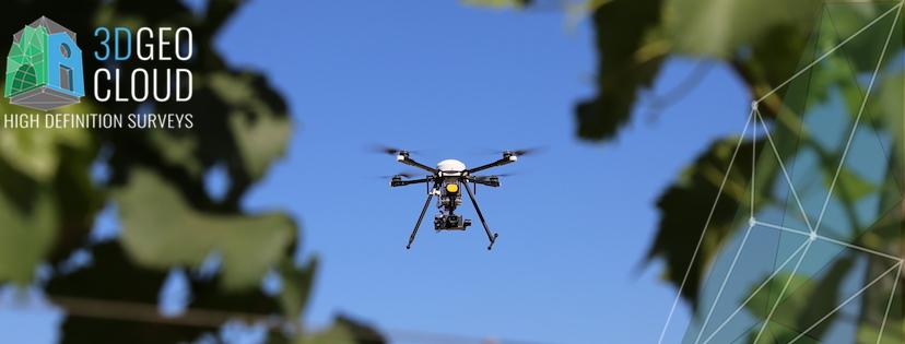
L'utilizzo dei SAPR in ambito Geomatico.
A valuable complementary tool to traditional topographic supplied, now dare to survey once reserved for aircraft and the traditional topography.
The SAPR, also permits to complete architectural Laser scanner surveys of fabricated portions difficult to reach with other technologies.
While staying at the show we are willing to organize at our booth or in areas dedicated moments of workshops or short seminars on the subject. SAPR will be available for use geomatics, Laser Scanners and traditional instruments Topografici.
Italy
3DGeoCloud
Company engaged in the field of Topographical surveys, Architectural, Archaeological and preservation of historic monuments, using classical surveying techniques, laser scanner and photogrammetric Aerial and of proximity
B10 (pav. 5)


