Exhibitors 2019
- 3D PRINTING
- ART
- EDUCATION
- HOME AUTOMATION
- INTERNET OF THINGS
- KIDS & EDUCATION
- RECYCLING & UPCYCLING
- ROBOTICS
- SCIENCE
- YOUNG MAKERS (< 18)
- BIOLOGY
- GAMES
- ARTIFICIAL INTELLIGENCE
- OPEN SOURCE
- NEW MANUFACTURING
- FABRICATION
- WELLNESS & HEALTHCARE
- ENERGY & SUSTAINABILITY
- FOOD & AGRICULTURE
- 3D SCANNING
- CULTURAL HERITAGE
- AEROSPACE
- HACKS
- MUSIC & SOUND
- ARTISANS & NEW CRAFT
- FASHION & WEARABLES
- DRONES
- STEAM PUNK
- ARDUINO
- CROWDFUNDING
CNR4All DROUGHT OBSERVATORY – OSSERVATORIO SICCITA’
Drought dynamics reveal a time gap between the onset of a drought event and the management of the drought emergency, but often this gap is too wide to effectively reduce the impacts. The Drought Observatory (https://drought.climateservices.it/en/) developed by CNR-IBIMET could fill this gap. It is an operational system providing Open, detailed and timely information and technical support to decision-makers, water authorities, researchers and stakeholders to enhance mitigation and adaptation plans. In particular, the coupled rainfall-based and satellite-derived monitoring system both provides multiple time scale occurrence and duration of drought, and allows the assessment of vegetation conditions at different spatio-temporal scales.
Thanks to the choice to deliver standardized information, data and tools fully open and free, the Drought Observatory can be easily used by several users, from decision makers, to water authorities, farmers and other researchers. Information, in fact, is delivered in formats suitable for different competences.
Moreover, the Spatial Data Infrastructure is conceived to also respond to specific requests, as detailed analysis in focus areas or integration with new drought indices.
Italy
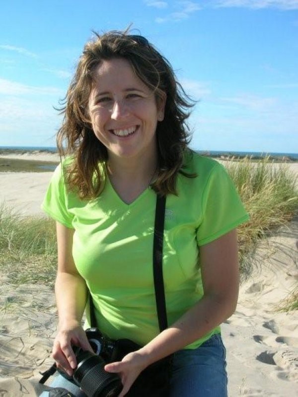
Ramona Magno, Tiziana De Filippis, Edmondo Di Giuseppe, Elena Rapisardi, Leandro Rocchi
Degree on Forestry; PhD on Soil Science and Climatology.
Researcher at the CNR-National Research Council since 2003.
Research fields:
- Studies on extreme climatic events, with a focus on drought and its impacts on natural and agriculture environments. Expert on drought monitoring through the integration of satellite-based and ground-based indices.
- Collaboration on the implementation of the IBIMET-CNR Climate Services: responsible of the drought monitoring and forecasting system.
- Climatologic studies related to climate change at different scales (from local to global).
- Studies of energy and mass (CO2, H2O) fluxes from vegetation using Eddy Covariance technique and interaction with anthropogenic greenhouse gases emissions (OsservatorioKyoto and Focal Point Kyoto projects).
▪ Models for the identification of sensitive areas to desertification (DISMED and DesertNet projects).
B1 (pav. 7)


